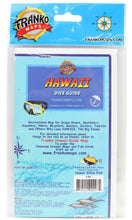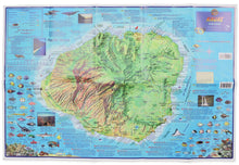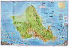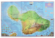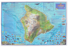
Recreational map for scuba divers, snorkelers, kayakers, hikers, bicyclists, boaters, surfers, and tourists. Printed on waterproof, tear-resistant, permanently folded paper. Side one shows the island as a whole and its various scuba diving sites. Side two shows details of the island. Legend includes principal and secondary roads, dirt roads, trails, points of interest, scuba sites, snorkeling sites, surfing spots. Contains a small fish identification chart for the local region.
- Publisher : Franko's Maps; 2008th edition (March 1, 2008)
- Language : English
- Map : 2 pages
- Item Weight : 3.2 ounces
- Dimensions : 8 x 6 x 1 inches


